The Great London:
Legacy
Natural Heritage: Scientists call for new conservation strategies

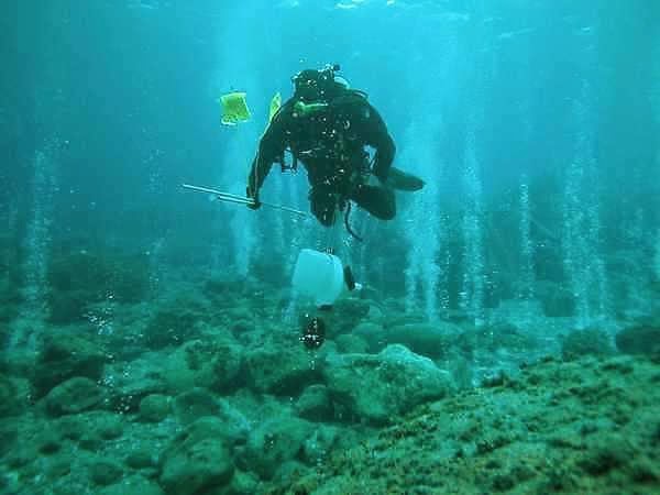
Natural Heritage: Sampling species' DNA trails is leading to better environmental monitoring

Oceans: Chemicals threaten Europe's killer whales with extinction

Natural Heritage: Researchers solve mystery of historic 1952 London fog and current Chinese haze

Natural Heritage: More infectious diseases emerging because of climate change

Environment: Warming opens famed Northwest Passage to navigation

Natural Heritage: Epoch-defining study pinpoints when humans came to dominate planet Earth
Natural Heritage: First global analysis indicates leopards have lost nearly 75 percent of their historic range

Natural Heritage: Coastal erosion study could hold valuable lessons for climate change mitigation

Uganda: Conservationists 'on the fence' about barriers to protect wildlife in drylands

Natural Heritage: Global wildlife populations decline by 58 percent

Environment: World's largest canyon may lie under the Antarctic ice sheet

Environment: Scientists predict extensive ice loss from huge Antarctic glacier

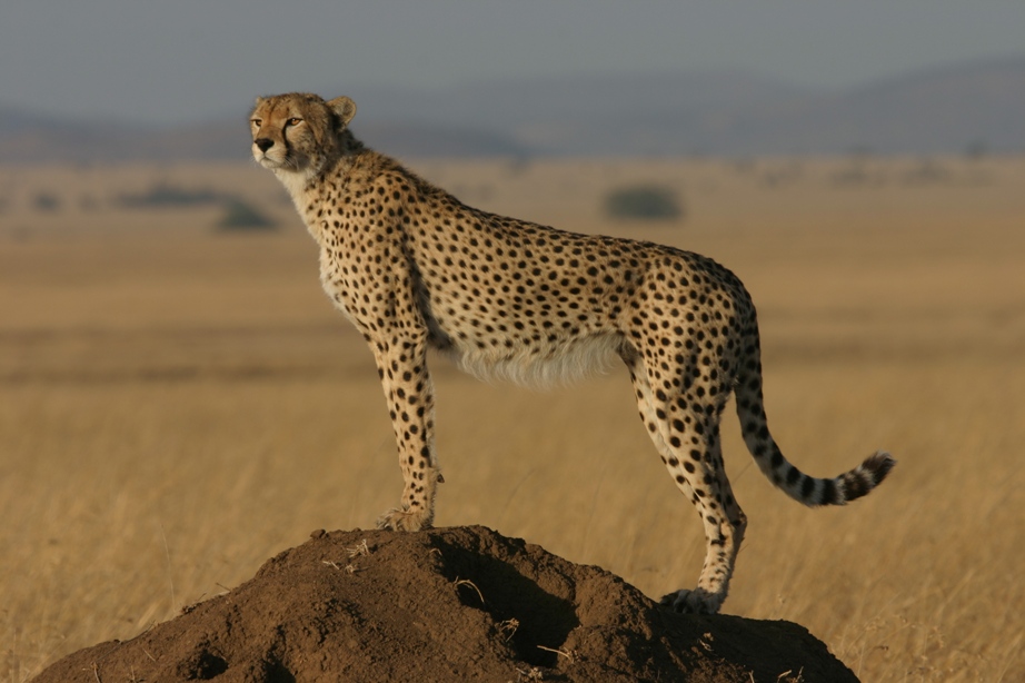
Natural Heritage: Sprinting towards extinction? Cheetah numbers crash globally
Environment: Arctic sea ice hits record low

Oceans: Rising carbon dioxide levels stunt sea shell growth
Environment: Kew report urges global scientific community to secure health of the planet

Natural Heritage: Drowning history: Sea level rise threatens US historic sites

Natural Heritage: Bitter chocolate: Illegal cocoa farms threaten Ivory Coast primates

Greenland: Greenland on thin ice?
