The Great London:
Earth Science
Mexico: Asteroid impacts could create niches for early life, suggests Chicxulub crater study

Earth Science: New evidence found of land and ocean responses to climate change over last millennium

Palaeontology: Melting Scandinavian ice provides missing link in Europe's final Ice Age story

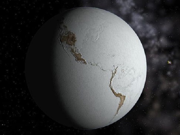
Earth Science: Cosmic dust reveals Earth's ancient atmosphere

Palaeontology: First extensive wildfires occurred significantly later than previously thought

Indonesia: Biggest exposed fault on Earth discovered

Mexico: Expedition will sample crater left by dinosaur-killing asteroid

Evolution: Life exploded on Earth after slow rise of oxygen
Fossils: New research reveals fires were more common 300 million years ago than today

Environment: World's largest canyon may lie under the Antarctic ice sheet

Kenya: 17 million-year-old whale fossil pinpoints date of East Africa's puzzling uplift
