The Great London [Search results for Ancient Environment]
Astronomy: Fossilized rivers suggest warm, wet ancient Mars

Earth Science: Cosmic dust reveals Earth's ancient atmosphere

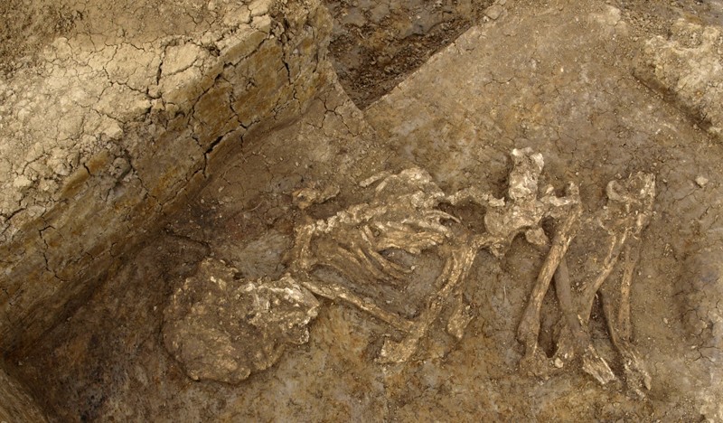
UK: Mummification was common in Bronze Age Britain
UK: Ancient Britons' teeth reveal people were 'highly mobile' 4,000 years ago

Genetics: A federal origin of Stone Age farming

Evolution: Sex cells evolved to pass on quality mitochondria

Space Exploration: Scientists identify mineral that destroys organic compounds, with implications for Mars Curiosity Mission

Italy: Fossil find reveals just how big carnivorous dinosaur may have grown

Environment: World's largest canyon may lie under the Antarctic ice sheet

Palaeontology: Ice core evidence suggests famine worsened Black Death

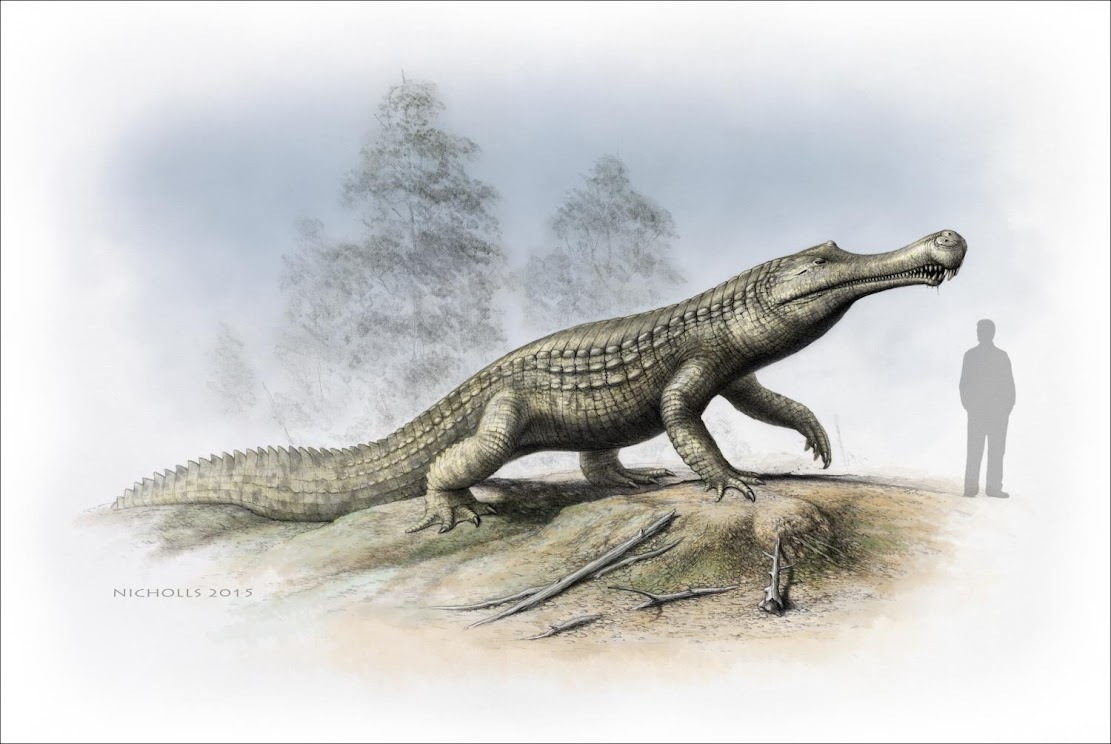
Fossils: Cold snap: Climate cooling and sea-level changes caused crocodilian retreat
Natural Heritage: Epoch-defining study pinpoints when humans came to dominate planet Earth