The Great London [Search results for North America]
North America: Site with clues to fate of fabled Lost Colony may be saved

Japan: Unique Mosasaur fossil discovered in Japan

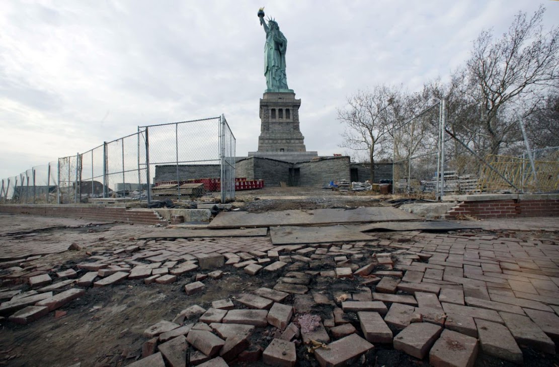
Natural Heritage: Drowning history: Sea level rise threatens US historic sites
Fossils: Unearthed: The cannibal sharks of a forgotten age

Palaeontology: First extensive wildfires occurred significantly later than previously thought

Oceans: Debut of the global mix-master

Breaking News: Complex genetic ancestry of Americans uncovered

Palaeontology: Africa’s earliest known coelacanth found in Eastern Cape

North America: Archaeologists piece together how crew survived 1813 shipwreck in Alaska

Travel: 'Ancient Egypt Transformed: The Middle Kingdom' at Metropolitan Museum of Art, New York

Travel: 'From Ancient to Modern: Archaeology and Aesthetics' at New York University’s Institute for the Study of the Ancient World

Natural Heritage: More infectious diseases emerging because of climate change

UK: Dig at theatre where Shakespeare worked uncovers a surprise

Environment: New Ice Age to begin by 2030?

Geology: Signs of ancient mega-tsunami could portend modern hazard
