The Great London [Search results for Northern Europe]
Turkey: Early farmers from across Europe were direct descendants of Aegeans

Northern Europe: The coldest decade of the millennium?

Forensics: Single strain of plague bacteria sparked multiple historical and modern pandemics

Travel: 'Celts: Art and Identity' at the British Museum

Palaeontology: Ice core evidence suggests famine worsened Black Death

Breaking News: Neanderthals killed off by diseases from modern humans, claims study

Genetics: DNA analysis reveals Roman London was a multi-ethnic melting pot

Palaeontology: Melting Scandinavian ice provides missing link in Europe's final Ice Age story

Japan: Unique Mosasaur fossil discovered in Japan

Genetics: A federal origin of Stone Age farming

Earth Science: New evidence found of land and ocean responses to climate change over last millennium

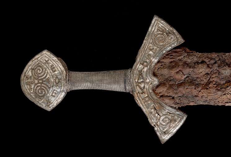
Northern Europe: The last Viking and his 'magical' sword?
Oceans: Chemicals threaten Europe's killer whales with extinction

UK: 14,000-year-old Ice Age site found on Jersey Island

Oceans: Debut of the global mix-master

Chanel Islands: Jersey was a must-see tourist destination for Neanderthals for over 100,000 years

East Asia: How China is rewriting the book on human origins

Travel: 'Indigenous Australia: Enduring Civilisation' at the British Museum

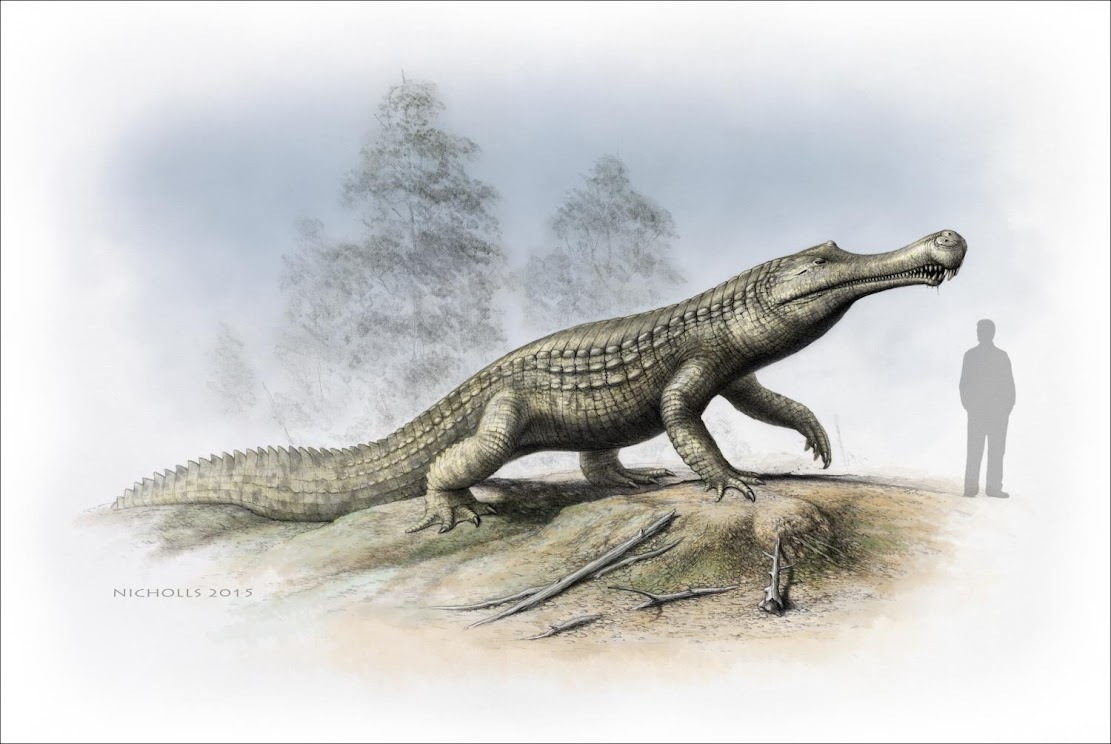
Fossils: Cold snap: Climate cooling and sea-level changes caused crocodilian retreat
Environment: New Ice Age to begin by 2030?
