The Great London [Search results for South Africa]
Palaeontology: Africa’s earliest known coelacanth found in Eastern Cape

Breaking News: Complex genetic ancestry of Americans uncovered

Virgin Atlantic Airways

Environment: Wetlands and agriculture, not fossil fuels could be causing a global rise in methane
Evolution: Rooting the family tree of placental mammals

Palaeontology: Fossil bee nests provide clues about the environment in which Australopithecus africanus lived

Natural Heritage: First global analysis indicates leopards have lost nearly 75 percent of their historic range

Genetics: A federal origin of Stone Age farming

Fossils: New Piltdown hoax analysis points to work of 'lone forger'

Oceans: Almost all seabirds to have plastic in gut by 2050

Environment: Wildfire on warming planet requires adaptive capacity at local, national, international scales

UK: UK marks 800th anniversary of Magna Carta

Natural Heritage: Drowning history: Sea level rise threatens US historic sites

Geology: Signs of ancient mega-tsunami could portend modern hazard

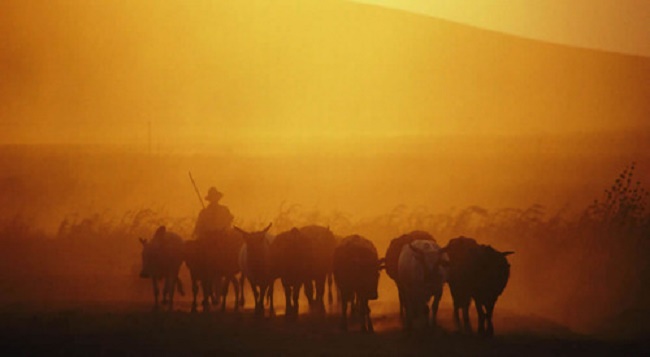
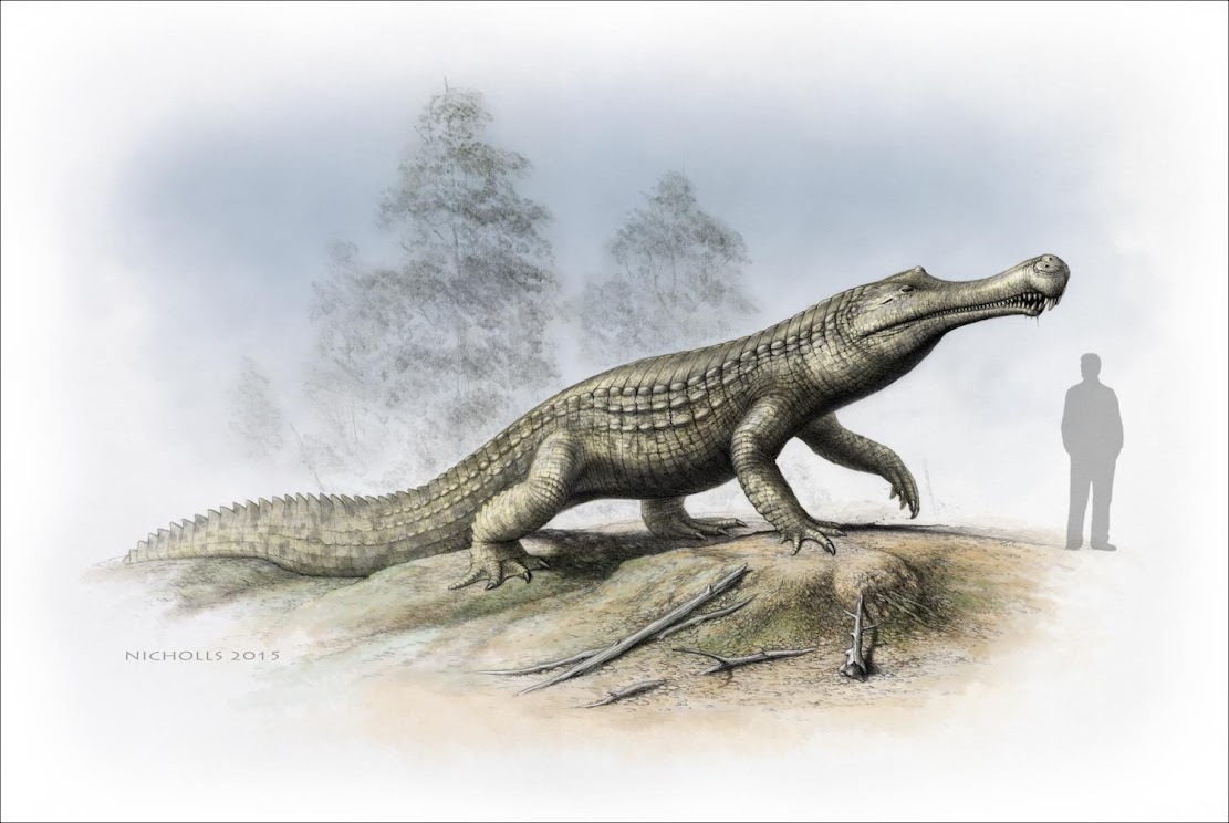
Fossils: Cold snap: Climate cooling and sea-level changes caused crocodilian retreat
UK: Tudor church graffiti records names of plague victims

Australia: Wreck of former slave ship off West Australian coast mapped in 3D

Natural Heritage: Scientists warn only 'simplified', degraded tropical forest may remain by end of century
